Location:
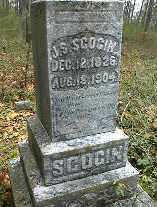
From the Baldwin County Courthouse, go west on Hancock Street for 2 blocks or 0.2 mile (or the one large block containing Georgia College & State Univ.). Turn right on Clarke Street. Go one large block or 0.2 mile. Turn left onto Highway 22 west (Montgomery St.). Go 2.4 miles. Turn right on Highway 212. Go 5.9 miles. Turn left on Avery Store Rd. Go 1.5 miles to the top of the hill. A monument and 4 unmarked slabs are on the right just past a hunting club road.
GPS coordinates: 33 07' 41.1" N 83 20' 36.7" W
or in degrees only form: 33.12808° N X 83.34353° W
See location on a Google map in a new window (
NOTE:The map opens in a new window. The cemetery will be at the location indicated by a red marker.)
GMD: 318
Cemetery Status: Inactive
Predominant race: White


