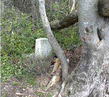
Location:
From the Baldwin County Courthouse, go east on Hancock St. and follow Highways 22/24 southeast for 4.4 miles. At the split of Highways 22 and 24, bear right on Hwy 24 and go 0.9 mile. Turn left on Lover's Lane and go 0.35 mile or 1900 feet to Rollin Rd. (dirt road). Turn right. Go 0.1 mile to Sugarberry drive. Turn right. Go 800 feet (or 0.15 mile). Stop. Grave is located on the left, between 124 and 130 Sugarberry Dr.
GPS coordinates: 33 04' 57.3" N 83 08' 39.0" W
or in degrees only form: 33.08258° N X 83.14417° W
See location on a Google map in a new window (
NOTE:The map opens in a new window. The cemetery will be at the location indicated by a red marker.)
GMD: 115
Cemetery Status: Inactive
Predominant race: White
On Baldwin County tax map #109C-053


