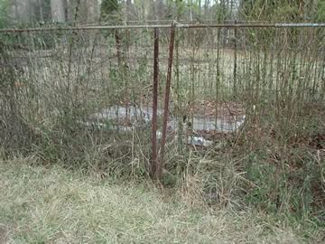
Location:
From the Baldwin County Courthouse, go west on Hancock Street for 2 blocks or 0.2 mile (or the one large block containing Georgia College & State Univ.). Turn right on Clarke Street. Go one large block or 0.2 mile. Turn left onto Highway 22 west (Montgomery St.). Go 7 miles. Turn left on Pettigrew Rd and follow one of the following directions:
(1) go 0.4 mile to 403 Pettigrew and ask permission. Go 0.4 mile on the road behind this house; then turn right and go 0.4 mile to the cemetery through a cow pasture.
(2) go 0.4 mile to an abandoned railroad right-of-way, which is adjacent to 403 Pettigrew Rd. Turn left on the abandoned railroad right-of-way, and go approximately 0.5 mile to a locked gate on the right side of the railway. Cemetery is located approximately 2500 ft. across the field.
Ask permission before proceeding to the cemetery.
GPS coordinates: 33 03' 59.1" N 83 19' 11.9" W
or in degrees only form: 33.06642° N X 83.31997° W
See location on a Google map in a new window (
NOTE:The map opens in a new window. The cemetery will be at the location indicated by a red marker.)
GMD: 319
Cemetery Status: Inactive
Predominant race: White
On Baldwin County tax map # 036-057.


