Location:
From the Baldwin County Courthouse, go east on Hancock St. and follow Highway 22 (Sparta Hwy) east for 6.4 miles. Turn left on Black Springs Road and go 1.4 miles. There will be a home on your right. The cemetery is in the yard to the left as you face the home and is about 300 feet from Black Springs Road.
GPS coordinates: 33 06' 43.6" N 83 10' 03.4" W
or in degrees only form: 33.11211° N X 83.16761° W
See location on a Google map in a new window (
NOTE:The map opens in a new window. The cemetery will be at the location indicated by a red marker.)
GMD: 105
Cemetery Status: Inactive
Predominant race: White
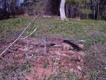
The cemetery is covered in periwinkle and is approximately 75' X 100'.
It is not known whether these graves are Robersons or whether they were buried here prior to Roberson's ownership of the property.


