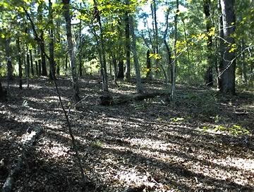
Location:
From the intersection of Hwy 212 and Meriwether Road, go north on Hwy 212 for about 0.9 mile. Turn left and go through gate 5 of Westover Plantation. Drive 0.6 mile through the woods and up and down hills toward the old Harper home area. The Harper home area will be across a power line right of way on your right, and the cemetery will be on the road bearing left. A guide or GPS is recommended. Permission is also required.
GPS coordinates: 33 07' 14.3" N 83 18' 54.6" W
or in degrees only form: 33.12064° N X 83.31517° W
See location on a Google map in a new window (
NOTE:The map opens in a new window. The cemetery will be at the location indicated by a red marker.)
GMD: 318
Cemetery Status: Inactive
This area was once owned by the Harper family.


