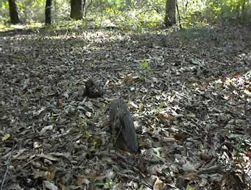
Location:
Go north on Hwy 212 and go over Potato Creek. Turn left on Stiles Cemetery Road. Go about half a mile and turn left through a gate marked Westover Plantation. Follow the drive for about 300 feet into the hunting camp, bearing right. The cemetery is at the edge of the clearing next to the hunting camp.
GPS coordinates: 33 09' 49.8" N 83 23' 44.8" W
or in degrees only form: 33.16383° N X 83.39578° W
See location on a Google map in a new window (
NOTE:The map opens in a new window. The cemetery will be at the location indicated by a red marker.)
GMD: 318
Cemetery Status: Inactive
This area was purchased by the Myricks in 1863.


